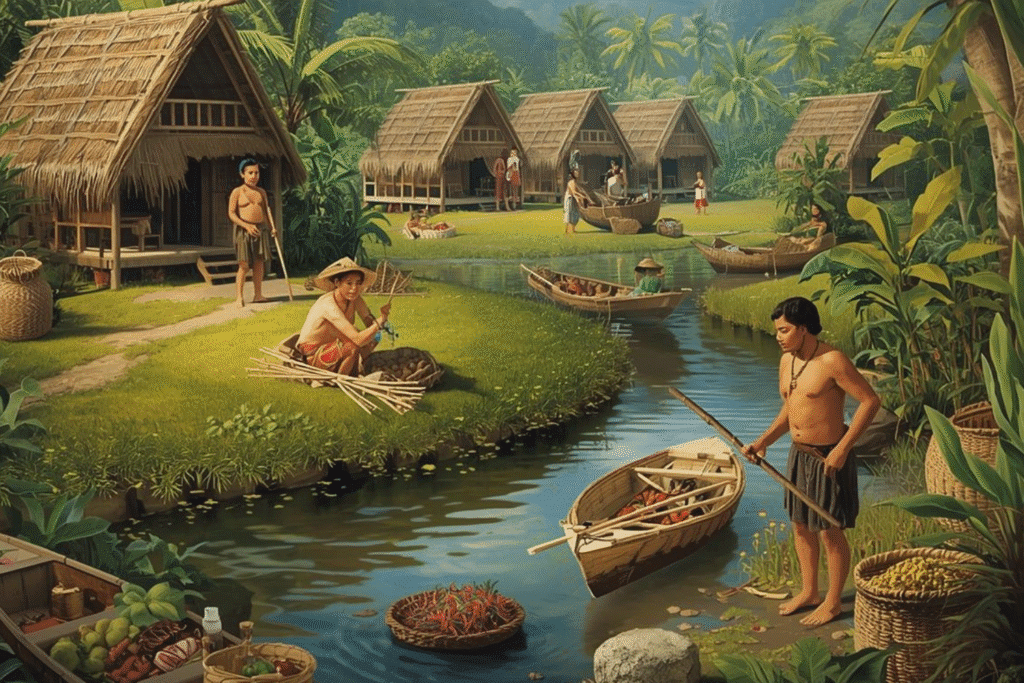
Many centuries ago, the Philippines was an archipelago made up of many independent communities called barangays.
Each barangay was led by a datu or local chieftain, and they controlled the land and waters around their settlement.
During the pre-colonial period, the Philippines was referred to by various names, depending on the region and foreign traders.
The barangays traded with one another, but they also fought wars and raided each other. So, territorial boundaries were fluid.
When the Spaniards came in the 1500s, they were forcibly unified under colonial rule, and territorial control shifted to the Spanish Crown.
National Territory of the Philippines Through History
The Philippines wasn’t called the Philippines during the pre-colonial period. It got its name in 1543 from Spanish explorer Ruy López de Villalobos.
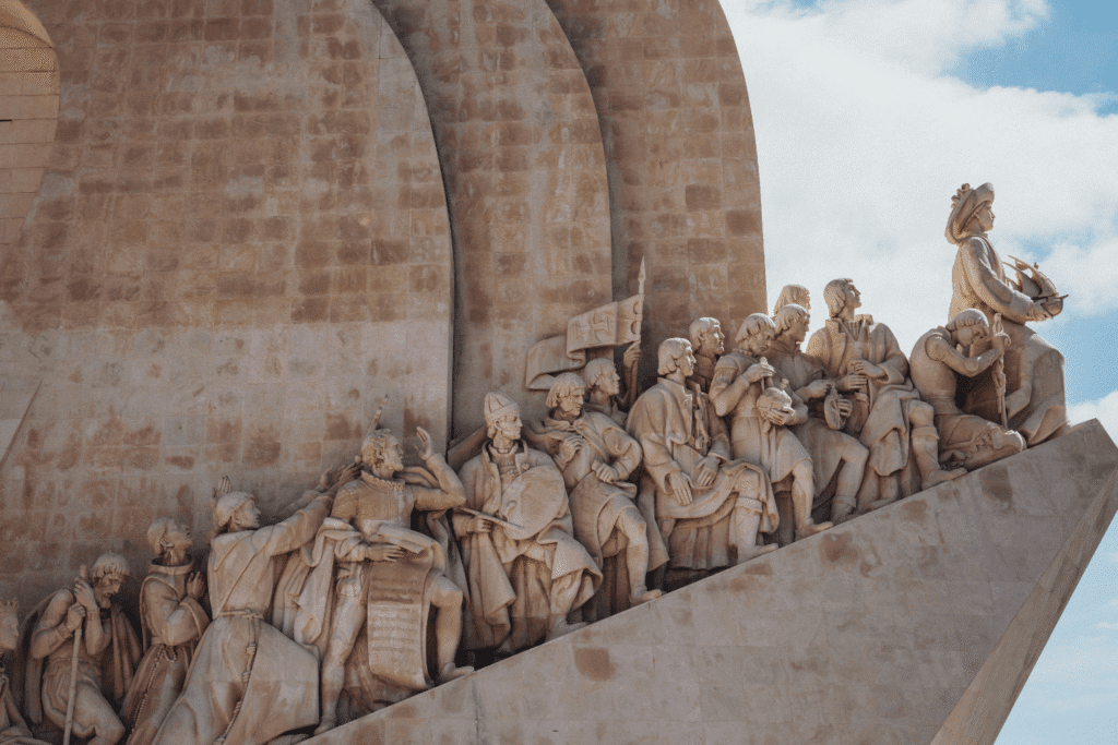
Spaniards Claimed the Philippines and Made Manila the Capital City
When Spaniards arrived in the Philippines, they claimed it for Spain and named it “Las Islas Filipinas” after Prince Phillip, who later became the king.
They exercised sovereignty over the entire archipelago and established Manila as the capital city in 1571.
From this point, the islands were no longer seen as separate communities but as part of one colony under Spain.
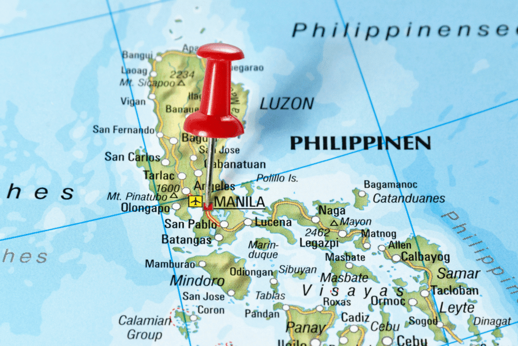
Americans Defined the Philippine Territory Using Latitude and Longitude
When the United States took control of the Philippines after the Spanish-American War in 1898, its national territory became more precise.
The Treaty of Paris of 1898 was the agreement that ended the Spanish-American War and transferred control of the Philippines, Guam, and Puerto Rico from Spain to the United States.
It clearly described its boundaries using latitude and longitude.
Consequently, international law officially recognized Philippine territory in scientific terms; it recognized it as a defined geographic area, even though it was still a colony under the United States.
The Philippine Territory Was Written in the 1935 Constitution When It Gained Independence
The 1935 Constitution defined the national territory of the Philippines for the first time under a Filipino-led government.
This happened as it was preparing for independence from the United States.
The definition was based on the Treaty of Paris and other agreements that clarified boundaries between the Philippines and neighboring colonies.
The Archipelagic Doctrine Was Introduced in the 1973 Constitution
The 1973 Constitution introduced a major development in defining the Philippine territory: the Archipelagic Doctrine.
The United Nations Convention on the Law of the Sea is the international treaty that defines how archipelagic states can draw baselines around their islands to claim internal waters.
It states that the waters around, between, and connecting the islands of the Philippines form part of its territory, regardless of their width or depth.
It gained authority over the waters between its islands, treating them as internal waters instead of international waters.
Terrestrial, Aerial, and Maritime Domains Were Added in the 1987 Constitution
The 1987 Constitution, which replaced the 1973 Constitution after the fall of the Marcos dictatorship, included aerial and maritime domains.
This means that the Philippines claims sovereignty over its airspace and marine resources, extending its authority beyond just the land area.
It remains the basis of its territorial definition today.
The Philippines May Gain or Lose Territories From Territorial Disputes
Even though the Philippines has defined its national territory in its constitution, it faces ongoing territorial disputes with neighboring states.
The most well-known example is the dispute over the West Philippine Sea, which the Philippines won in 2016 at the Permanent Court of Arbitration.
Despite the ruling, China still claims the sea as part of its territory.