Ever wonder why the Philippines has a tropical climate, is prone to earthquakes and typhoons, and has only two seasons?
It is because of its absolute location.
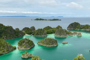
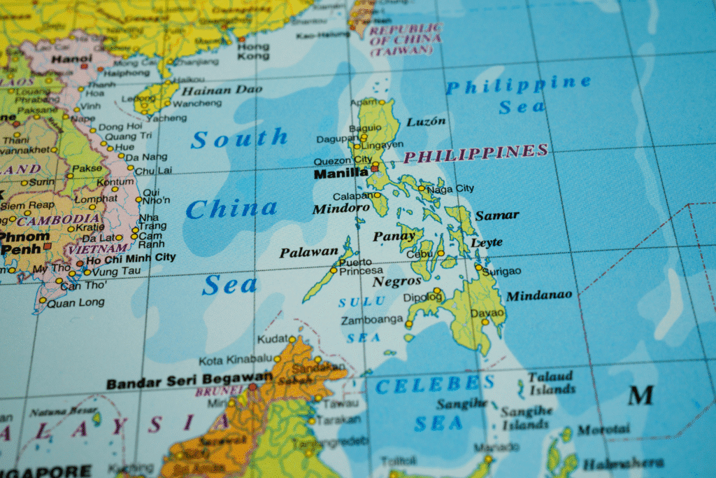
It is an archipelago in Southeast Asia with 7,641 islands, as reported by the National Mapping and Resource Information Authority.
The Philippine islands increased from 7,107 to 7,641. The 2016 mapping found more land masses previously unrecorded.
Its absolute location is identifiable using longitude and latitude, or lines on the Earth’s surface that help pinpoint the exact spot of a place on the map.
You will learn about it below.
The Philippines Is Above the Equator
The Philippines is warm almost all year, although it gets colder during “ber” months, thanks to the cool northeast monsoon winds.
Its latitude and longitude greatly affect its climate: It is tropical because it is near the equator and humid because it is surrounded by seas.
Latitude
Latitudes are the horizontal lines that go around the Earth, which measure how far a place is north or south of the equator.
The Philippines is located roughly between 5° to 20° north latitude, so it is just above the equator, the area known as the tropics.
If a country is close to the equator, it experiences hot and humid weather most of the year. This explains its consistently warm temperatures.
Longitude
Longitudes are vertical lines from the North Pole to the South Pole that show how far a place is east or west of the Prime Meridian.
Prime Meridian is the zero-degree longitude line that serves as the starting point for measuring east and west.
The Philippines is between 116° and 127° east longitude. It is in the eastern part of the world, specifically in Southeast Asia.
The Philippines Is Along the Pacific Ring of Fire and the Typhoon Belt
The absolute location of the Philippines also places it in disaster-prone areas: the Pacific Ring of Fire and the Typhoon Belt.
Earthquakes
The Pacific Ring of Fire is the area around the Pacific Ocean where many earthquakes happen. So, many earthquakes happen in the Philippines.
It experiences thousands of earthquakes each year, but only around 100 to 150 are strong enough to be felt.
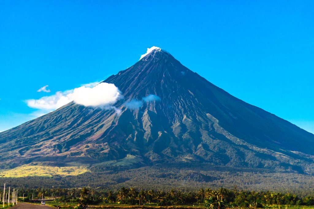
Volcanic Eruptions
Being on the Pacific Ring of Fire means magma beneath the Earth can push through openings and trigger volcanic eruptions.
According to the Philippine Institute of Volcanology and Seismology, the Philippines has 24 active volcanoes.
In the Philippines, two volcanic eruptions are recorded each year, although some years may have none or more depending on activity.
Typhoons
The Philippines lies along the Typhoon Belt, so about 20 typhoons enter the Philippine Area of Responsibility during the wet season.
Typhoons bring strong winds and heavy rainfall that can cause flooding, landslides, and destruction of property. They can also kill people!
Typhoon Yolanda in 2013 was one of the strongest storms ever recorded, causing massive destruction and killing over 6,000 people.
The Philippines Has Two Seasons Because of Its Absolute Location
The sun shines almost directly above the Philippines throughout the year, so there is no winter and autumn, only wet and dry.
The wet season from June to November brings frequent rains that can cause problems, but it is important for farming since crops need plenty of water.
The dry season from December to May, however, is hot and has little to no rainfall; this is the time when people can travel without worries.
But if the heat index goes 40°C and above, it is better to stay indoors. It can cause dehydration, skin problems, and heat stroke!